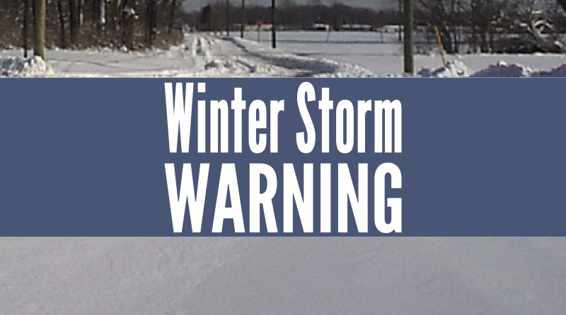
Area upgraded to winter storm warning
Updated with new estimates.
A winter storm warning is now in effect from 7 p.m. Wednesday night through 1 a.m. Friday morning for our area.
The National Weather Service in Indianapolis says affected area counties includes Bartholomew, Brown, Decatur, Jackson, Jennings, and Johnson. Heavy mixed precipitation is expected. Sleet and snow accumulations in excess of 6 to 8 inches and ice accumulations of up to one tenth of an inch are likely in our area.
A prolonged period of sleet is possible in our area Wednesday night. Far southern locations could also see some freezing rain accumulations. The agency says snow, sleet and freezing rain will have the potential to damage trees, utility lines and roofs.
The agency warns it will all make travel difficult to near impossible, beginning Wednesday and especially Thursday.
Winter precipitation will begin to taper off Thursday night, with most areas dry by Friday morning.
In the Indy area up to a foot of snow is possible. North of Indianapolis, residents can expect up to a foot and a half of snow.